Struan
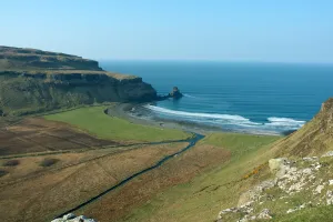
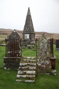
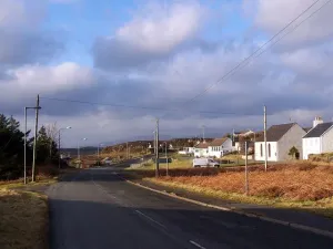
village on Skye, Highland, Scotland, UK...
 alpha
NOW FEDERATED!
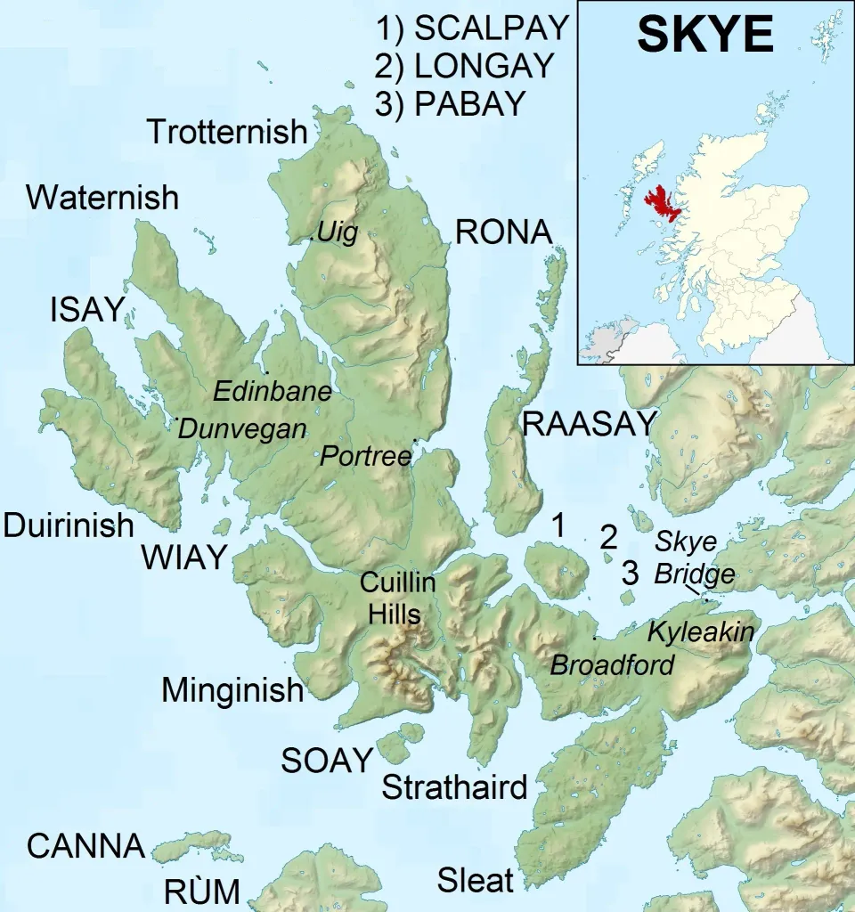
village on Skye, Highland, Scotland, UK...
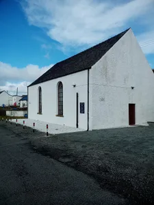
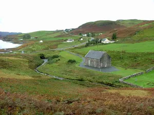
church building in Highland, Scotland, UK...
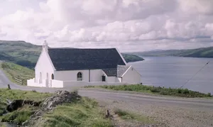
church in Highland, Scotland, UK...
village in Highland, Scotland, UK...
church building in Highland, Scotland, UK...
church building and burial ground in Highland, Scotland, UK...
Neolithic henge monument in Amesbury, Wiltshire, England, UK...
Gothic abbey church in London, England, UK...

영국 런던에 위치한 궁전...
영국 런던에 있는 웨스트민스터 궁전에 부속된 시계탑의 자명종의 애칭...
bascule and suspension bridge in London...
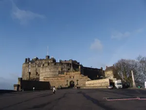
스코틀랜드 에든버러의 성...