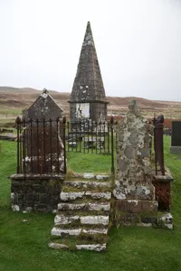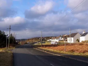
Struan
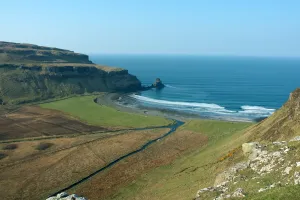
Dorf auf der schottischen Insel Skye...
 alpha
NOW FEDERATED!
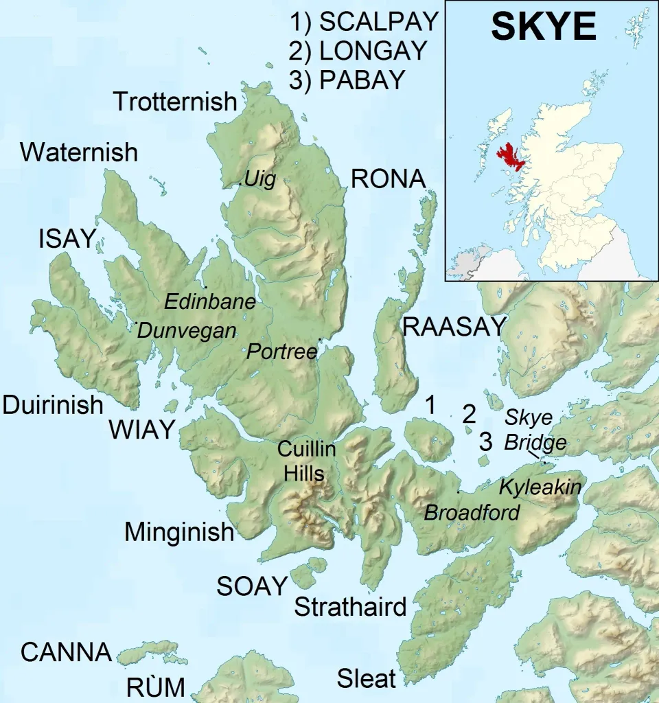
Dorf auf der schottischen Insel Skye...
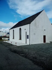
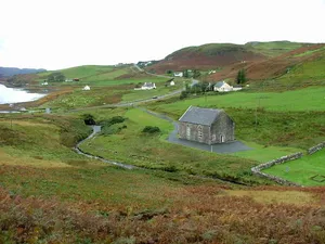
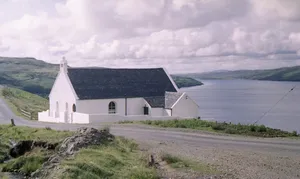
Kirchengebäude im Vereinigten Königreich...
Kirchengebäude im Vereinigten Königreich...
Siedlung im schottischen Verwaltungsdistrikt Highland...
church building in Highland, Scotland, UK...
Kirchengebäude im Vereinigten Königreich...
jungsteinzeitliches Bauwerk in Wiltshire, England...
Krönungskirche der britischen Monarchie in London...

offizielle Londoner Residenz und Hauptarbeitsplatz des britischen Monarchen...
Uhrturm am Palace of Westminster in London mit der Glocke...
Brücke in London, England, Vereinigtes Königreich...
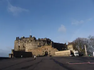
Burg im Vereinigten Königreich...