Persiųskite nuorodą. Pokalbyje ir laiške matysis straipsnio pavadinimas ir nuotrauka.
https://mostlyharmless.travel/articles/san-pedro
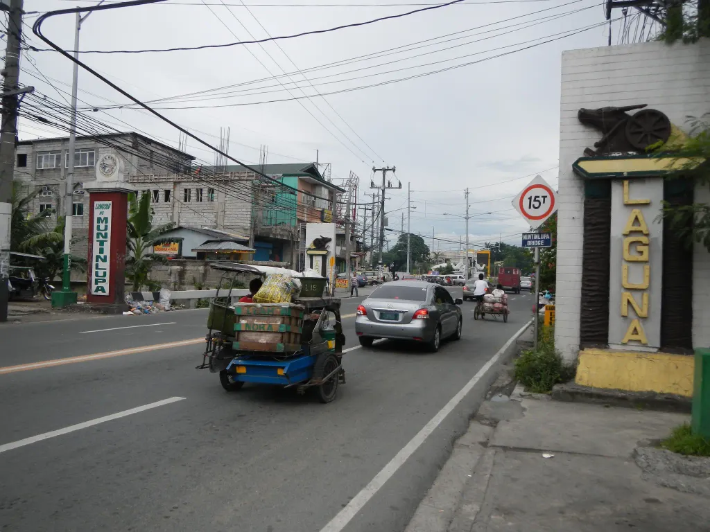
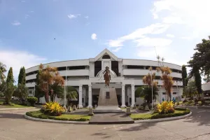
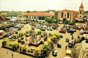
Welcome markers & Signs (including the San Pedro Chicken or Rooster Statue as symbol of the City) - Provincial Boundary of Laguna --- San Pedro, Laguna [1] San Pedro City, or officially known as the City of San Pedro and Metropolitan Manila (Barangay Tunasan, Muntinlupa City) Bridge - Muntinlupa / San Pedro Boundary Coordinates: 14°22'8"N 121°3'0"E Philippines / Southern Tagalog / San Pedro / Barangay Tunasan, Muntinlupa [2]Muntinlupa [3] The City of Muntinlupa[2] (Filipino: Lungsod ng Muntinlupa) is the southernmost city in Philippine National Capital Region. National Road - Pan-Philippine Highway.[4]
Author: Ramon FVelasquez, License: CC BY-SA 3.0
·
Šaltinis
Registracija šiuo metu yra galima tik su invitacijos kodu. Įveskite savo invitacijos kodą arba naudokite savo asmeninį invitacijos tinklalapį. Jei neturite kodo, galite jį prašyti iš mūsų.
 alpha
NOW FEDERATED!