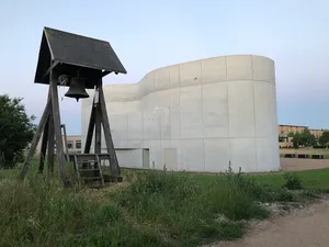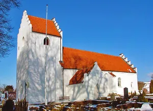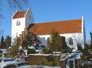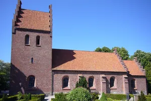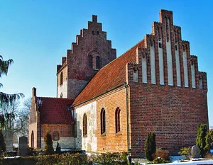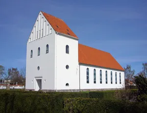
Ansgar Church
church building in Høje-Taastrup Municipality, Denmark...
 alpha
NOW FEDERATED!
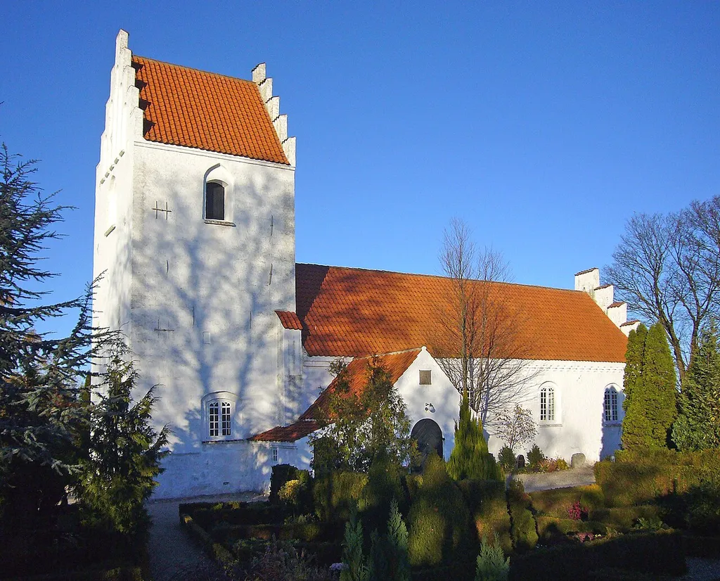
church building in Høje-Taastrup Municipality, Denmark...
설명 사용 불가...
church building in Roskilde Municipality, Denmark...
church building in Roskilde Municipality, Denmark...
church building in Høje-Taastrup Municipality, Denmark...
church building in Roskilde Municipality, Denmark...
독일 쾰른에 있는 고딕 양식의 성당...
이탈리아 롬바르디아주 밀라노에 위치한 로마 가톨릭교회 대성당...
church in Carmignano, Prato...
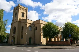
church in Warwick, UK...
grade II listed church in Royal Leamington Spa, Warwick, Warwickshire,...
cultural heritage monument D-4-74-154-56 (0) in Neunkirchen am Brand, Bavaria. Neunkirchen...