Envoie le lien. Dans le chat et les e-mails, le titre et la photo de l'article s'affichent.
https://mostlyharmless.travel/articles/jlnir
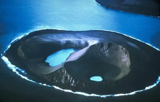
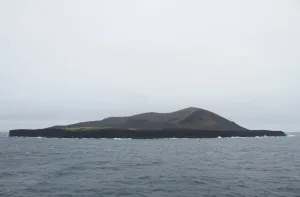
Two water-filled vents cap Jolnir Island on August 22, 1966, less than two weeks after it ceased erupting. Jolnir was formed during repeated submarine eruptions that began in October 1965 immediately SW of the new island of Surtsey (upper right). Jolnir Island was repeatedly built above sea level and then destroyed by erosion before it ceased activity on August 10. No lava flows were produced at Jolnir, and a month after this photo was taken the loosely consolidated ash deposits disappeared beneath the sea for the final time.
Author: Photo by Richie Williams, 1966 (U.S. Geological Survey)., License: Public domain
·
Source
La registration est actuellement uniquement possible avec un code d'invitation. Veuillez entrer votre code d'invitation ou utiliser votre lien d'invitation personnel. Si vous n'avez pas de code, vous pouvez en demander un auprès de nous.
 alpha
NOW FEDERATED!
alpha
NOW FEDERATED!