Envoie le lien. Dans le chat et les e-mails, le titre et la photo de l'article s'affichent.
https://mostlyharmless.travel/articles/aballava
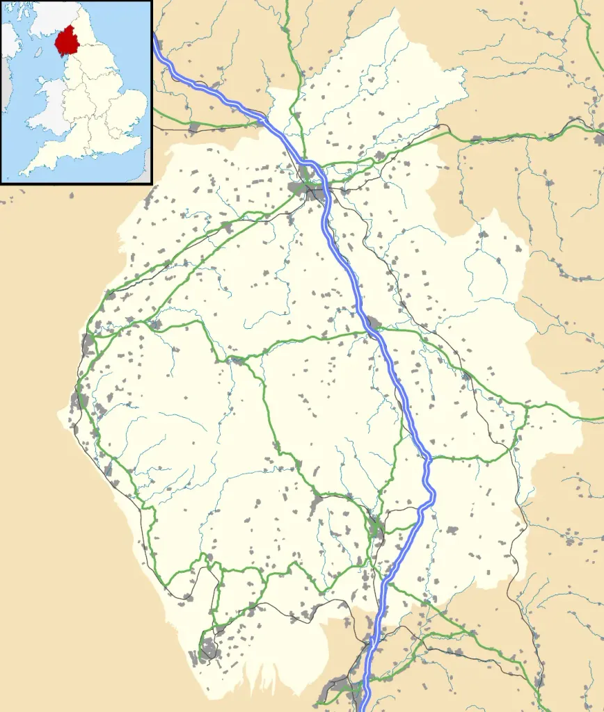
Map of Cumbria, UK with the following information shown: Administrative borders Coastline, lakes and rivers Roads and railways Urban areas Equirectangular map projection on WGS 84 datum, with N/S stretched 170% Geographic limits: West: 3.80W East: 2.10W North: 55.20N South: 54.02N
Author: Nilfanion, created using Ordnance Survey data, License: CC BY-SA 3.0
·
Source
La registration est actuellement uniquement possible avec un code d'invitation. Veuillez entrer votre code d'invitation ou utiliser votre lien d'invitation personnel. Si vous n'avez pas de code, vous pouvez en demander un auprès de nous.
 alpha
NOW FEDERATED!