Frontiers of the Roman Empire
👍0
👎0
🧳
Frontiers of the Roman Empire
Author: –, License: Description is available under license CC-BY-SA IGO 3.0
Description is available under license CC-BY-SA IGO 3.0
source: UNESCO/CPE
Description is available under license CC-BY-SA IGO 3.0
source: UNESCO/CPE
Description is available under license CC-BY-SA IGO 3.0
source: UNESCO/CPE
Description is available under license CC-BY-SA IGO 3.0
source: NFUAJ
Source: unesco.nl
· Quelle
Über diesen Ort
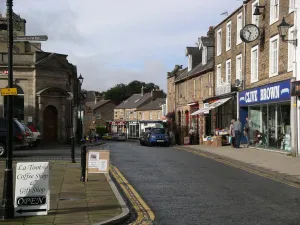
The ‘Roman Limes’ represents the border line of the Roman Empire at its greatest extent in the 2nd century AD. It stretched over 5,000 km from the Atlantic coast of northern Britain, through Europe to the Black Sea, and from there to the Red Sea and across North Africa to the Atlantic coast. The remains of the Limes today consist of vestiges of built walls, ditches, forts, fortresses, watchtowers and civilian settlements. Certain elements of the line have been excavated, some reconstructed and a few destroyed. The two sections of the Limes in Germany cover a length of 550 km from the north-west of the country to the Danube in the south-east. The 118-km-long Hadrian’s Wall (UK) was built on the orders of the Emperor Hadrian c. AD 122 at the northernmost limits of the Roman province of Britannia. It is a striking example of the organization of a military zone and illustrates the defensive techniques and geopolitical strategies of ancient Rome. The Antonine Wall, a 60-km long fortification in Scotland was started by Emperor Antonius Pius in 142 AD as a defense against the “barbarians” of the north. It constitutes the northwestern-most portion of the Roman Limes.
Further reading
Source and License: Description is available under license CC-BY-SA IGO 3.0
Description is available under license CC-BY-SA IGO 3.0
source: UNESCO/CPE
Description is available under license CC-BY-SA IGO 3.0
source: UNESCO/CPE
Description is available under license CC-BY-SA IGO 3.0
source: UNESCO/CPE
Description is available under license CC-BY-SA IGO 3.0
source: NFUAJ
Source: unesco.nl ·
Diskussion
Noch keine Beiträge oder Kommentare zu diesem Ort.
Please log in to submit a comment.
Weitere Artikel folgen beim Scrollen
↓
Related Articles
Gilsland
village on the boundary of Cumbria and Northumberland, England, UK...
Nether Denton
village and civil parish in Cumbria, England...
Banks
village in Cumbria, England...
Hallbankgate
village in Cumbria, United Kingdom...
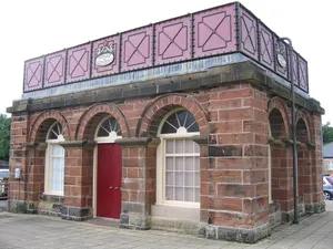
water tank building at Haltwhistle railway station
grade II listed water tank building and two water columns...
Haltwhistle
town in Northumberland, England...
❮
❯
1 / 2
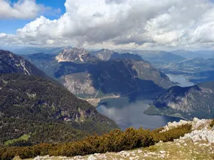
Hallstatt-Dachstein / Salzkammergut Cultural Landscape
The Hallstatt-Dachstein/Salzkammergut region is a breathtaking alpine landscape in Austria,...
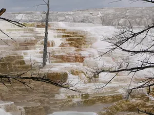
Yellowstone National Park
The vast natural forest of Yellowstone National Park covers nearly...
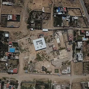
Saint Hilarion Monastery/ Tell Umm Amer
Situated on the coastal dunes in Nuseirat Municipality, the ruins...
The Emergence of Modern Human Behaviour: The Pleistocene Occupation Sites of South Africa
This serial property contributes to the understanding of the origin...
The Flow Country
The serial property, located in the Highland Region of Scotland,...
Umm Al-Jimāl
The property is a rural settlement in northern Jordan that...
 alpha
NOW FEDERATED!
alpha
NOW FEDERATED!