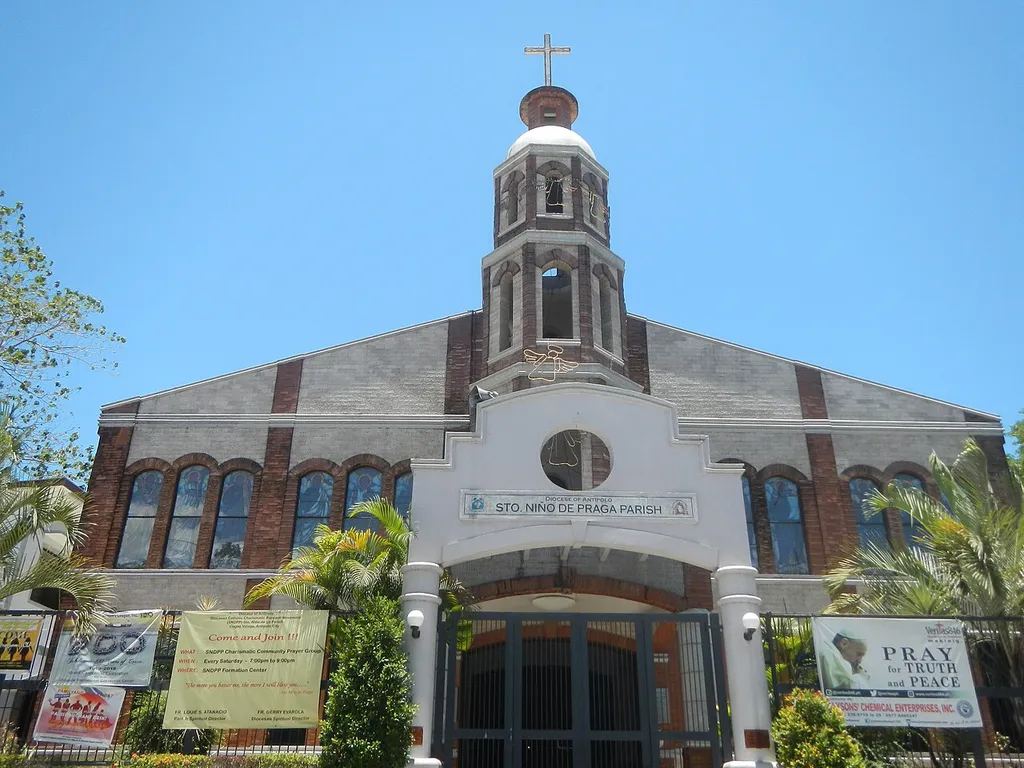
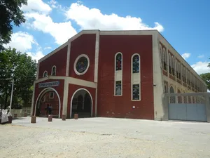
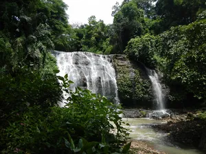
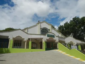
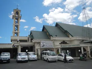
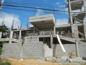
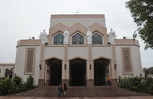
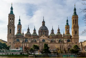
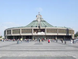
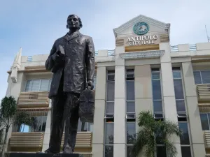
Santo Niño de Praga Parish Church (Cogeo Village, Bagong Nayon, Antipolo City) GSIS Avenue Roman Catholic Diocese of Antipolo from Cogeo junction - pedestrian footbridge (Marcos Highway, Santa Cruz-Bagong Nayon, Antipolo City) Cogeo Village, Antipolo City along Marcos Highway (Mayamot-Santa Cruz-Bagong Nayon-Inarawan-San Jose, Antipolo City) from or interconnecting with Sumulong Highway Legislative districts of Antipolo City List of barangays of Metro Manila,Barangays Mayamot 14°37'25"N 121°7'20"E Santa Cruz 14°36'45"N 121°9'37"E Barangay Bagong Nayon, Antipolo City 14.7062, 121.2113 Barangay Inarawan, Antipolo City 14.6736, 121.2412 San Jose 14°37'16"N 121°15'47"E Antipolo City at the Junction of Sumulong Highway and Marikina–Infanta Highway Marcos Highway or MARILAQUE Highway or Manila-Rizal-Laguna-Quezon interconnecting with the Marcos Highway (Pasig City - Antipolo City Section) MRT-2 (LRT-2) Santolan LRT Station Manila Light Rail Transit System Line 2 en:Strong Republic Transit System (Note: Judge Florentino Floro, the owner, to repeat, Donor Florentino Floro of all these photos hereby donate gratuitously, freely and unconditionally all these photos to and for Wikimedia Commons, exclusively, for public use of the public domain, and again without any condition whatsoever).
Author: Judgefloro, License: CC0
· Source
Registration is currently only possible with an invite code. Please enter your invite code or use your personal invite link. If you don't have a code, you can request one from us.
 alpha
NOW FEDERATED!
alpha
NOW FEDERATED!