Send the link on. In chat and email, the article title and photo show up with it.
https://mostlyharmless.travel/articles/octa
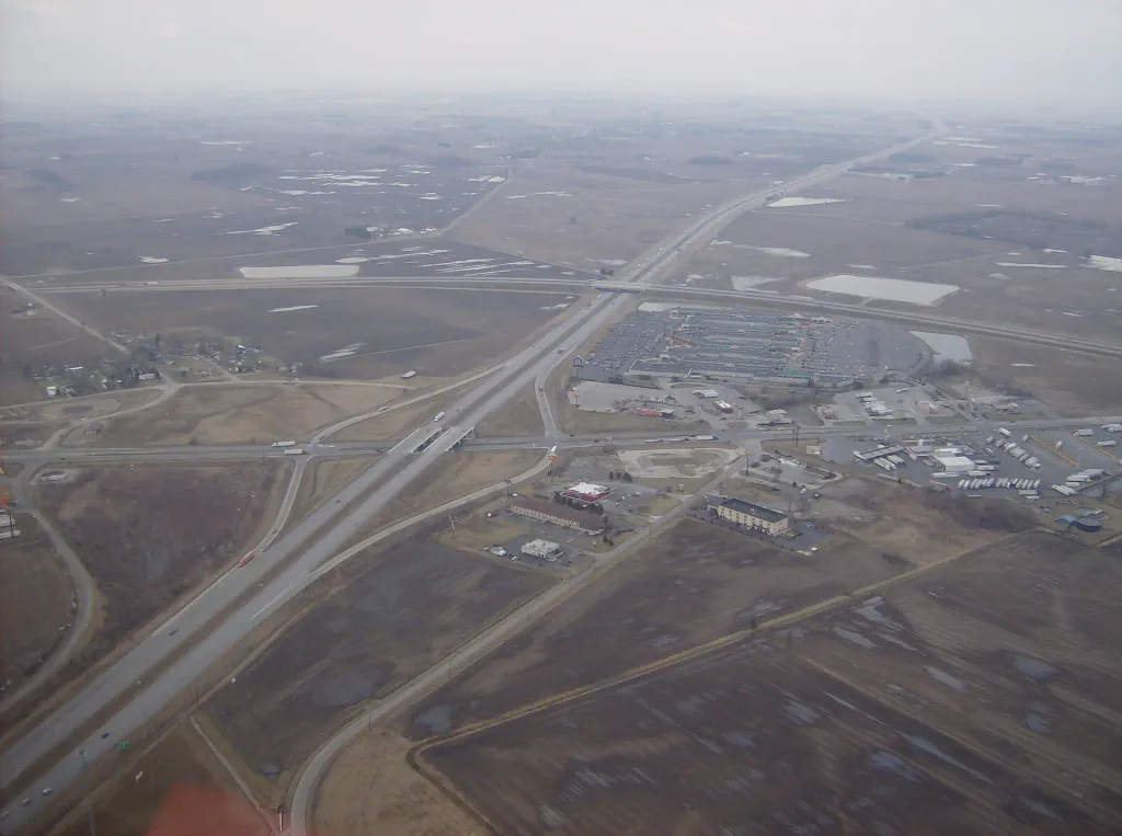
Aerial view of West Lancaster, a community in southern Jefferson Township, Fayette County, Ohio, United States. The village of Octa lies primarily just off the bottom edge of the picture, although its village limits extend along the road that appears from the picture's bottom edge. Picture taken from a Diamond Eclipse light airplane at an altitude of 2,500 feet MSL at an bearing of approximately 5º. The interchange is Interstate 71 over State Route 435, and the divided highway's overpass in the background is U.S. Route 35 passing over the interstate.
Author: Nyttend, License: Public domain
·
Source
Registration is currently only possible with an invite code. Please enter your invite code or use your personal invite link. If you don't have a code, you can request one from us.

 alpha
NOW FEDERATED!
alpha
NOW FEDERATED!